
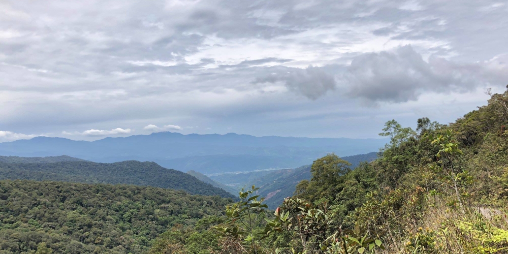
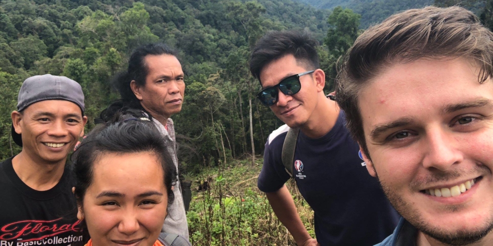
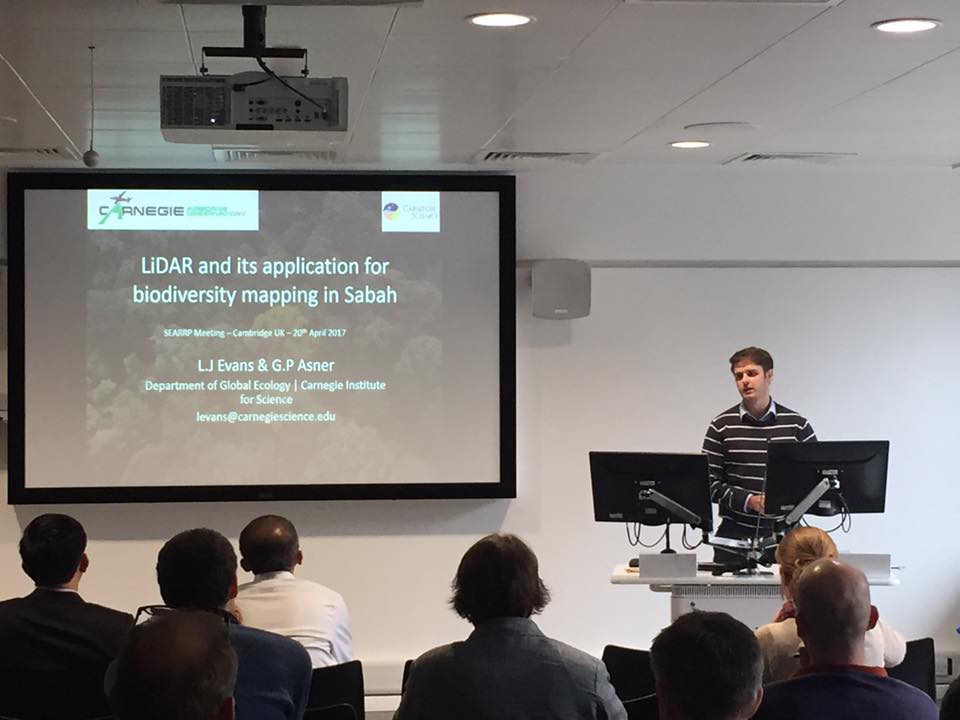
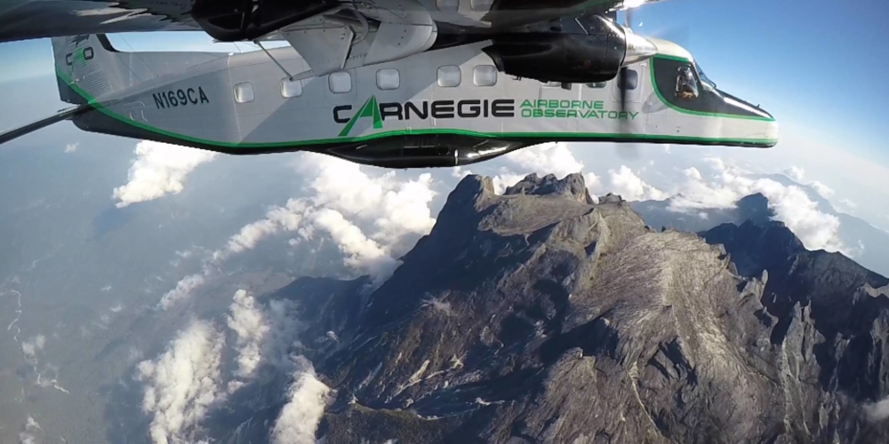
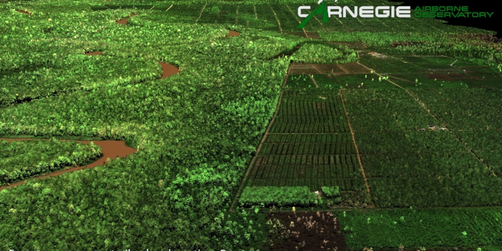
 Aerial LiDAR data were collected across Sabah during May 2016 by Prof. Greg Asner and his team from the Carnegie Airborne Observatory (CAO), part of Carnegie Institute for Science. Aerial surveys covered ~30% of the land surface of the state and a combination of LANDSAT and other satellite imagery are being utilized to map the vegetative, topological, chemical and carbon storage levels throughout the state. The CAO LiDAR subsystem provides three-dimensional structural information of vegetation canopies and the underlying terrain. The Global Positioning System -Inertial Measurement Unit (GPS-IMU) subsystem provides three-dimensional position and orientation data for the CAO sensors, allowing for highly precise and accurate positioning of LiDAR observations on the ground. Laser ranges from the LiDAR are combined with the embedded GPS-INU data to determine the 3-D locations of laser returns, producing a ‘cloud’ of LiDAR data. These data are processed to create digital terrain models (DTM) and digital surface models (DSM; this includes canopy top and, where only ground returns exist, bare ground). Measurement of the vertical difference between the DTM and DSM yields a digital canopy model (DCM) throughout the study site. Dr. Luke Evans, postdoctorate at Carnegie Institute, acts as liaison between DGFC and CAO in the utilization of LiDAR data within the Kinabatangan and beyond.
The results of these in-depth habitat mapping efforts will provide projects with detailed, species-specific habitat parameters, which, when paired with animal-derived GPS data, will elucidate what is required for population persistence within the Kinabatangan’s lowland landscapes.
Recent publications
Riparian vegetation structure and the hunting behavior of adult estuarine crocodiles.
Underproductive agriculture aids connectivity in tropical forests.
Mapped aboveground carbon stocks to advance forest conservation and recovery in Malaysian Borneo.
Protected area management priorities crucial for the future of Bornean elephants.